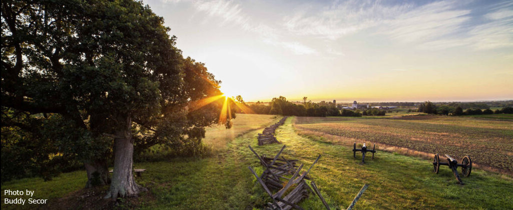
On June 27, 2022 the American Battlefield Trust and Civil War Trails, working with the Friends of Cedar Mountain Battlefield, installed 11 new wayside markers on Cedar Mountain Battlefield.
The partnership and support that made the new waysides possible included Dan Davis, Senior Education Director of the American Battlefield Trust; Drew Gruber, Executive Director, and Chris Brown, Assistant Director, of Civil War Trails; and Paige Read, Director of Tourism and Economic Development for Culpeper. Reviewing and contributing to the signage were Bradley Forbush, historian, guide and board member of Friends of Cedar Mountain Battlefield, and Michael Block, former vice president of Friends of Cedar Mountain Battlefield (pictured below). Civil War Trails signage is researched at the local level and the signage site is sponsored by a local agency that promotes the site’s unique educational opportunity offered to visitors.
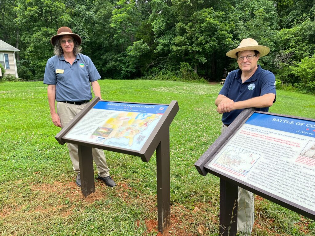
Seven of the signs update and replace signage on the battlefield that has served visitors from around the world for over a decade. The updated signs offer a more engaging text and media presentation to help fuel the imagination of visitors as they stand where the historic events took place on the battlefield. Each of the waysides has a map that has been revised to reflect the terrain of 1862 as well as the locations of the armies on that portion of the battlefield.
Four new signs were installed. Two describe the fighting in the woods on and behind The Point, and another above the Brushy Field. As with all the waysides, the new signs include maps, quotes from battle participants and photos that pertain to that portion of the battle. The new signs will allow visitors to understand the fighting on these portions of the battlefield that had gone without interpretation.
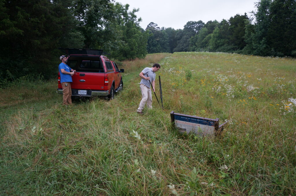
Executive Director of Civil War Trails work on sign installation in the brushy field.
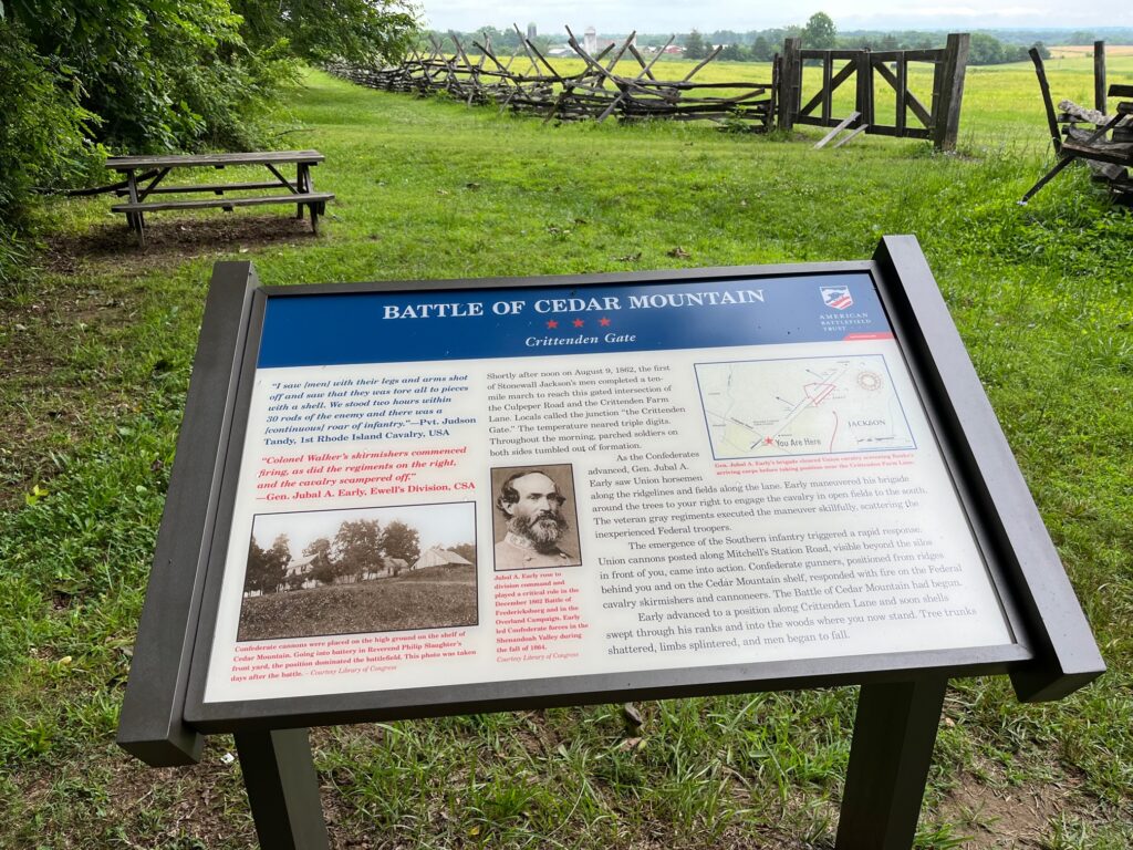
The fourth new sign is a wayside discussing KOCOA (Key Terrain, Observation Points and Fields of Fire, Cover and Concealment, Obstacles, and Avenues of Approach/Retreat). KOCOA signifies the process for studying military terrain and classifying cultural landscape features of battlefields and battle-related historic sites. A visitor to Cedar Mountain can now study and understand the battlefield from the perspective of a modern combatant.
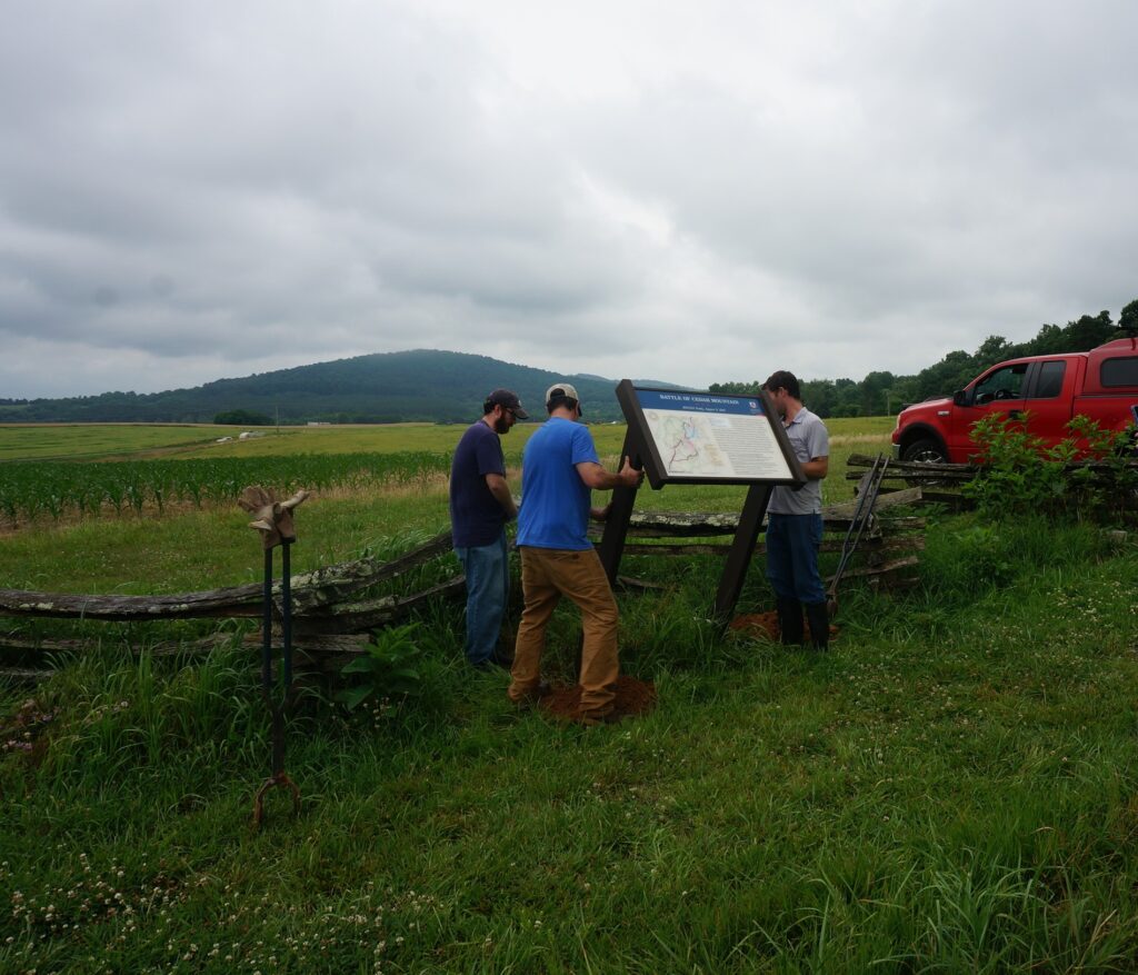
and Chris Brown, CWT Assistant Director install the KOCOA signage along the old Orange-Culpeper Road trace.
Each CWT sites such as Cedar Mountain Battlefield is networked together with more than 1,400 other sites across six states and marketed internationally by state tourism offices, destination marketing organizations, and municipal partners. The program helps to drive economic development by promoting travel. This summer, Friends of Cedar Mountain Battlefield will commemorate the 160th anniversary of the August 9, 1862 battle by hosting a history seminar with presentations and tours July 28-30 and a living history and battle reenactment on August 6 and 7.

